
See the world from above
Quad Cities drone photography & aerial video
GET IT ONGoogle PlayCOMING SOON TO THEApp Store
See the world from above
Aerial photography, video, mapping and inspection imaging for homes, businesses, farms and events in Davenport, Bettendorf, Moline, Rock Island and the surrounding area.
Stunning overhead imagery for property listings, architectural documentation, and land valuation. See your asset from the sky.
Learn more about Real estate drone photography →High-resolution orthomosaic maps and aerial site progress photos for construction, engineering and land projects.
Learn more about Drone mapping →Field and crop overviews, drainage and storm-damage documentation, and land and environmental imaging for farms across eastern Iowa and western Illinois.
Learn more about Agricultural drone photography →4K aerial video for film, commercials, events, and documentaries. Smooth gimbal-stabilized footage from breathtaking heights.
Learn more about Drone video production →Detailed close-range imaging of rooftops, bridges, towers, and solar arrays — safer, faster, and more thorough than ground access.
Learn more about Roof & inspection imaging →Epic aerial moments for weddings, festivals, and corporate events. The shot everyone talks about — captured from above.
Learn more about Event & wedding drone photography →Recent drone work around Davenport and the Quad Cities: Centennial Bridge, downtown Davenport, Modern Woodmen Park, local parks, churches, roofs and job sites.


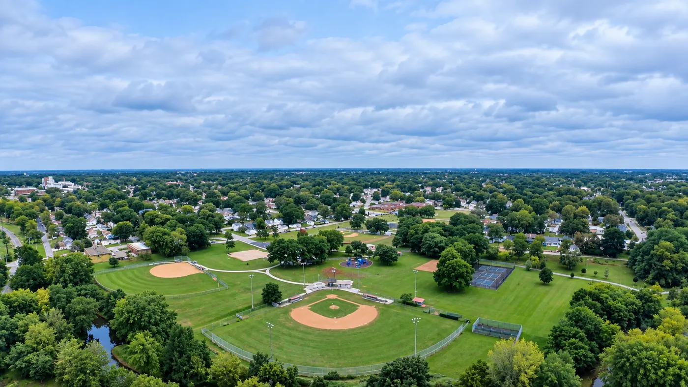


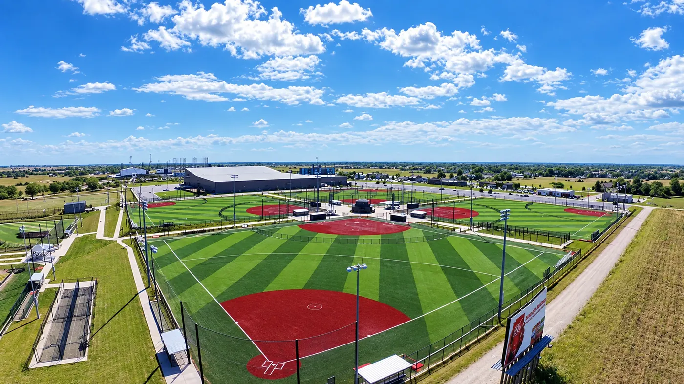
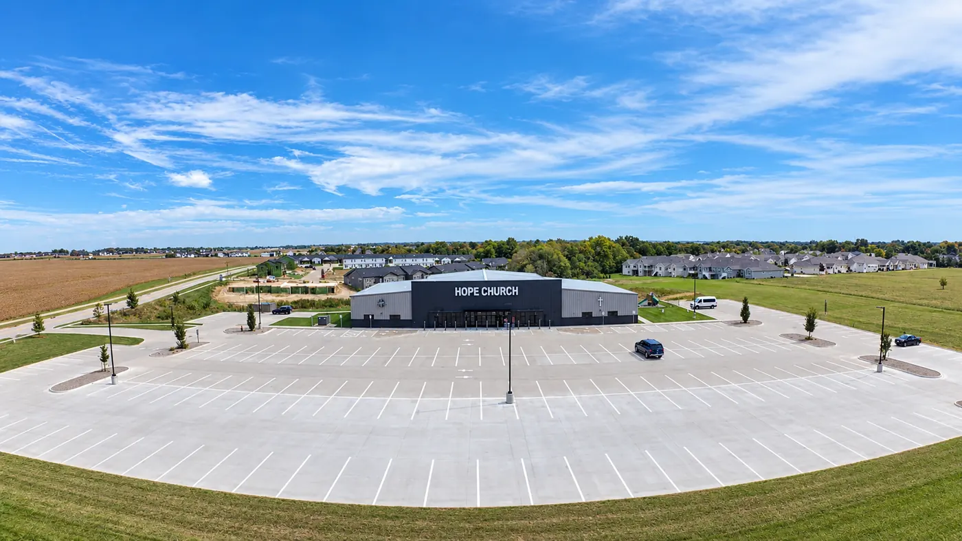


CaelAir is a drone photography and aerial video company based in Davenport, Iowa, built on one conviction: the world looks different from above, and that perspective matters.
We serve the Quad Cities and communities within about 50 miles, on both sides of the Mississippi. Every flight is planned around airspace, weather and the shots you need, and every project is edited and delivered through a secure client portal and the CaelAir app.
Four steps from your idea to a finished aerial product — no surprises, no delays.
Tell us your objectives, site details, and timeline. We'll scope the flight plan and recommend the right equipment.
We map the airspace, check regulations, weather windows, and generate a precise flight path for maximum coverage.
We fly the planned route on site, capturing high-resolution photos and 4K video of everything in the brief.
Professional post-processing, color correction, mapping analysis, and delivery in your preferred format.
Based in Davenport, Iowa, CaelAir flies across the Quad Cities on both sides of the Mississippi River and anywhere within about 50 miles.
CaelAir provides real estate and landscape aerial photography, cinematic 4K drone video, drone mapping (orthomosaic maps and site progress imagery), agricultural field imaging, roof and infrastructure inspection imaging, and aerial coverage of weddings and events throughout the Quad Cities.
CaelAir is based in Davenport, Iowa and serves the whole Quad Cities area: Davenport, Bettendorf, Moline, Rock Island, East Moline, Silvis, Milan, Eldridge and LeClaire, plus communities within about 50 miles such as Clinton, Muscatine, DeWitt and Geneseo. Projects farther away can be quoted on request.
Every project is quoted individually based on the location, the number of photos or minutes of video, mapping or inspection requirements, and editing. Requests sent through the contact form get a free, detailed quote within 24 hours.
Yes. Aerial photos and video of homes, commercial buildings, farmland and lots are one of CaelAir's main services, for listings, marketing and documentation across Davenport, Bettendorf and the rest of the Quad Cities.
Parts of the Quad Cities sit in controlled airspace around Quad City International Airport (MLI) and Davenport Municipal Airport (DVN). CaelAir checks the airspace, FAA rules and local restrictions for every location during flight planning, before any flight is scheduled.
Finished files are delivered through CaelAir's secure client portal at caelair.com and the CaelAir mobile app, where you can view, download and share them. Invoices are delivered there too.
Send a request through the contact form on caelair.com, call (563) 279-2886, or email [email protected] with the location, what you need captured, and your timeline. You'll get a quote within 24 hours, and clients can book flight times in the client portal.
Get a free consultation and quote for your next aerial project.
Get Your QuoteFill out the form or reach us directly. We respond within 24 hours with a detailed proposal.