
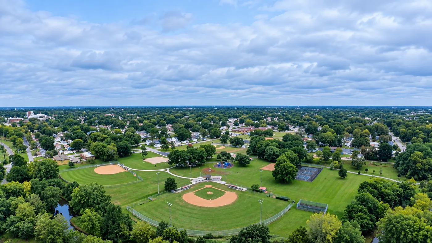

What you get
- Whole-field overview photos and stitched field maps
- Close-ups of problem areas spotted from the air
- Before/after records for drainage, tiling and storm damage
- Farmstead and land photos for sales, rentals and records
Who it's for
- Farmers and farm managers
- Landowners and farmland sellers
- Ag lenders, crop insurance and appraisal professionals (as supporting photos)
- Conservation and environmental projects
Around Eldridge, DeWitt, Geneseo, Muscatine and the rest of the Quad Cities countryside, a drone can cover a field in minutes and show patterns, wet spots and damage that are hard to see from the ground.
Frequently asked questions
Do you do crop health (NDVI / multispectral) analysis?
CaelAir currently provides standard high-resolution color photos and field maps, which show many problems clearly. Ask when you request a quote if you need specialized sensor analysis.
Can you photograph storm or flood damage on farmland?
Yes. Aerial photos are a fast way to document storm, hail and flood damage across a whole field for your records and conversations with your insurer.
Do you spray crops?
No. CaelAir provides aerial photography and mapping only, not drone spraying or application.