
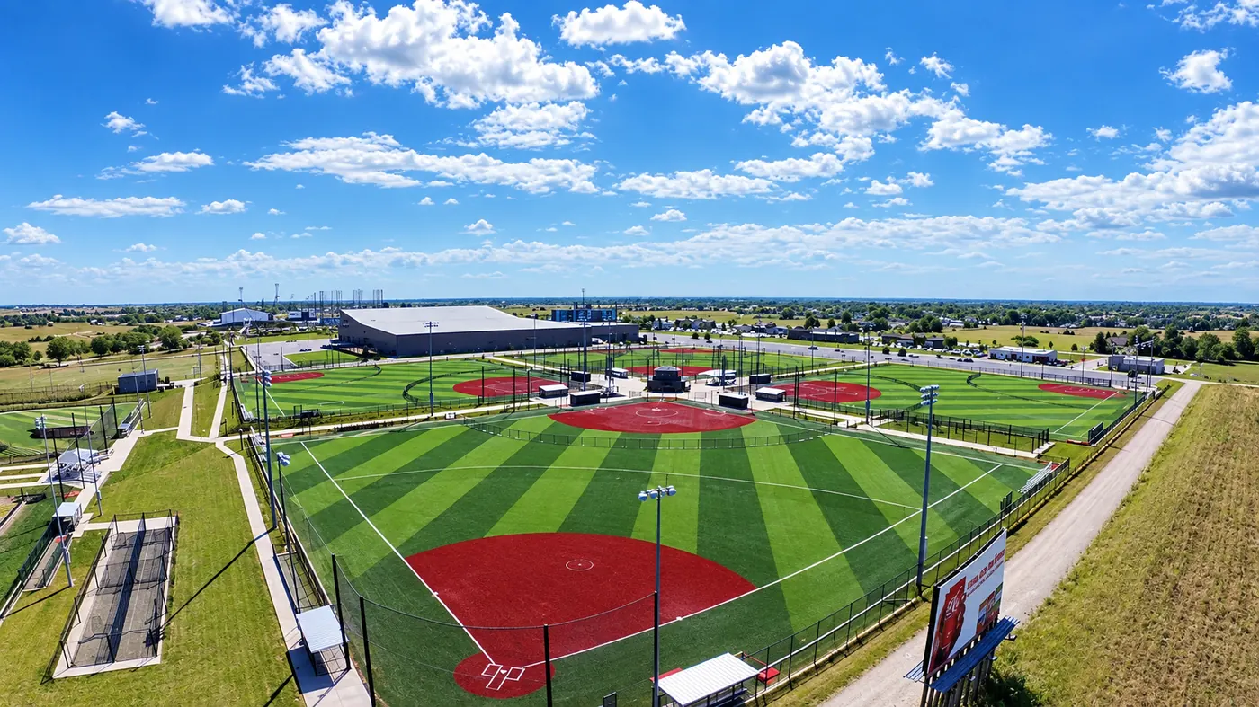

What you get
- Orthomosaic maps: one stitched, top-down image of the whole site
- Oblique aerial photos showing structures and progress from every side
- Repeat flights on a schedule for construction progress tracking
- Common file formats for viewing, sharing and importing into your tools
Who it's for
- General contractors and builders
- Engineers, architects and developers
- Landowners, farms and land managers
- Municipal and facilities teams documenting property
From new commercial development in Bettendorf and Davenport to industrial sites along the river in Moline and Rock Island, regular aerial maps give Quad Cities project teams a shared, current picture of the job site.
Frequently asked questions
Is drone mapping the same as a land survey?
No. Drone maps are visual site records for planning, progress and communication. Legal boundary surveys and survey-grade measurements must come from a licensed land surveyor.
How often can you fly my construction site?
As often as your project needs, for example weekly or monthly, so each map shows how the work has progressed. Recurring schedules are quoted together.
How big an area can you map?
It depends on the site, the airspace and the detail you need. Send the location and goals for a quote.